
![Traversing the Geghama Mountains [Part 2]](http://alpkit.com/cdn/shop/articles/cover-geghamamountains.jpg?crop=center&height=803&v=1689087870&width=1440)
Traversing the Geghama Mountains Part 2: Dive deeper into the heart of adventure, where rugged trails lead to hidden treasures.
Continuing from PART 1.
The next morning I awoke, unharmed and delighted: there are few better ways to begin the day than by being alive in the first place. I elbowed Leon until he woke, then began our pre-dawn pack-up routine. The climb wouldn’t be a long or technical one, but the prevailing weather patterns would make an early morning summit a safe goal to aim for.
Clambering among the rocks with not a soul to be seen, I found myself comparing this experience with any number of peaks I could have climbed in the UK. There, there would have been a laboriously-built stone footpath, indicated clearly on an OS map; a summit cairn or shelter, and a car park and probably a pub at the bottom in which to dry out and warm up – oh, and other walkers. Here, it had taken three days just to reach the base of the mountain, navigating using home-printed Russian topo maps made by the Soviet military and last updated in 1972. I hadn’t seen another human for over 24 hours, and there sure as hell wouldn’t be a pub on the other side.

There was, however, a defined path from the crater’s edge to the summit itself, where a large metal cross had been erected, both as a lightning conductor and a reminder of one’s location firmly within Christendom. We gazed out from our hard-won vantage point, from where it seemed we could see not just the whole of the Armenian Highland but also the peaks of neighbouring nations. And after days of peering into the westerly haze, we finally spotted the lopsided white hump of Ararat itself, floating in space, easy to mistake for a cloud but for its unmistakeable shape: the sacred mountain of the Armenian people.


The land south of here was less explored still. Groups climbing Azhdahak inevitably turned west after the summit, hiking down and out via Garni gorge and hot-footing it back to Yerevan. I could not find any records of anyone having gone for a full, unsupported traverse on foot from the northern tip of the range to the Vardenyats Pass at its south-eastern extent.
People had done it, of course. I’d sent the same route plan to an ambitious young Englishman called Val Ismaili, who had used the data to traverse the range two months earlier. He had done so alone, with no command of the Armenian language, and with a lot more leftover snow to deal with. This was part of his attempt to hike the entire prototype route I’d designed for the Transcaucasian Trail’s southern route, walking some 1,000 miles from the southern border of Armenia to the Black Sea in Georgia. He’d been due to complete his pioneering trek a couple of days after Leon and I had set out. I wondered if he’d made it?
Khosrov Forest – by many accounts the world’s oldest nature reserve – opened up below us. The mountain lived up to its name, too: the rock we crossed was a blinding white, punctuated with streams fed by the last of the melting snowpack, the occasional mound of horse droppings hinting as to why this track had not yet dissolved into the mountainside. Emerging onto gentler ground, we passed through fields of twinkling obsidian and plagues of newly-hatched crickets before regaining the central ridge of the Geghama range. The highest and toughest part of this trek was over.

Descending from the ridge happened gradually. The fierce peaks grew distant and were replaced by steppe-like hills and plains. Rivers grew broader as tributaries joined forces to drain water off the plateau, east to Lake Sevan and west into the chasms of Khosrov. Nomad encampments grew more frequent, serving as weather monitors and providing intel on nearby freshwater springs. As they did, the jaw-dropping landscapes were replaced by heart-warming hospitality. Not a camp did we approach whose inhabitants did not invite us for a coffee and a chat, often also plying us with homemade cheeses, yoghurts, and creams. The Yezidis of Armenia, they told us, still feel an ancestral connection to their brethren who live nowadays in Kurdish-dominated parts of Iraq, Syria and Turkey. But they are wholeheartedly Armenian too, speaking both their own distinct tongue and the national language, but to all intents and purposes integrated in this otherwise monocultural nation.


Backpacks and Rucksacks
-
Sale


-
Sale

-
Sale

-
Sold Out


-
Sale


-
Sale


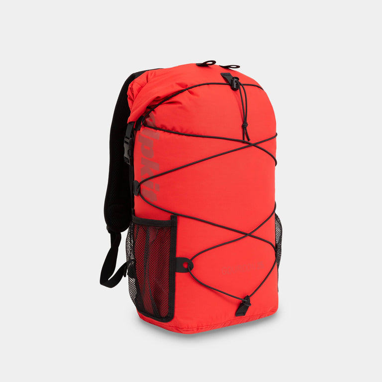
Gnarl 15L
A lightweight, 15-litre multi-activity daypack for fast-moving mountain days
£51.99
£64.99
-
Sale


Skytrail 14L
14-litre mountain bike backpack built for hydration and comfort on the bike
£67.99
£84.99
-
Sale


-
Sale


Idris 25L
25-litre ultra marathon backpack with space for overnight kit and comfort on the run
£59.99
£74.99
-
Sale


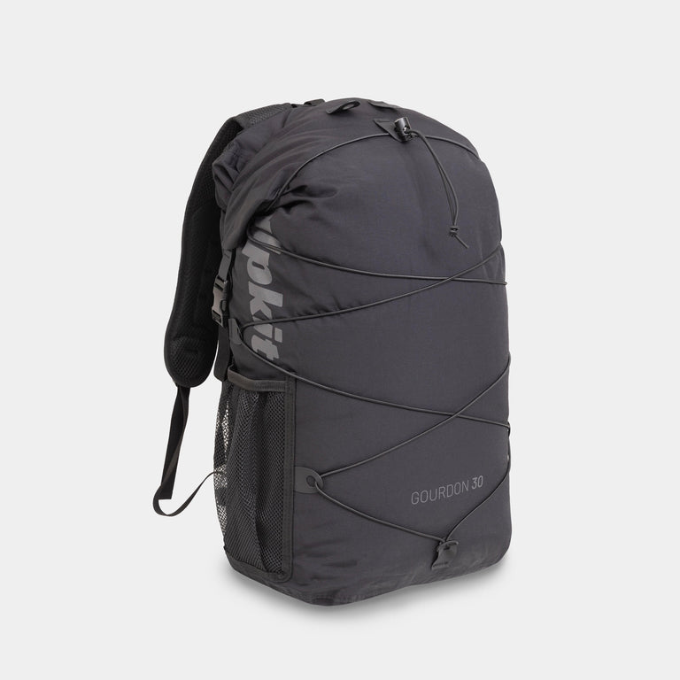
Ledge 35L
35-litre hiking backpack for lightweight 4-season hillwalking and scrambling
£63.99
£79.99
-
Sale


Orion 45L
45-litre supportive mountaineering backpack for heavy loads and long days out
£79.99
£99.99
-
Clearance
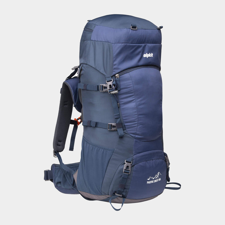
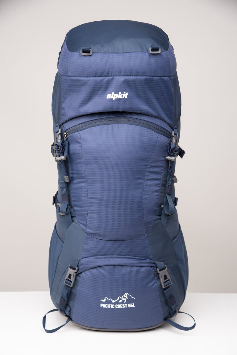
Pacific Crest 55L
55-litre hiking backpack for multi-day trekking, hiking and backpacking
£62.99
£89.99
Your next reads
![Traversing the Geghama Mountains [Part 2]](http://alpkit.com/cdn/shop/articles/el-camino-trail_58c99ac9-f4a4-488b-a3b4-de888bd0ec06_360x360_crop_center.jpg?v=1747317970)

![Traversing the Geghama Mountains [Part 2]](http://alpkit.com/cdn/shop/articles/27in77_360x360_crop_center.jpg?v=1689088213)
![Traversing the Geghama Mountains [Part 2]](http://alpkit.com/cdn/shop/articles/geghamamountains9_360x360_crop_center.jpg?v=1689087870)
![Traversing the Geghama Mountains [Part 2]](http://alpkit.com/cdn/shop/articles/Jen_Lowthrop_WITP-header-main_360x360_crop_center.jpg?v=1692369717)
![Traversing the Geghama Mountains [Part 2]](http://alpkit.com/cdn/shop/articles/gr92_1_360x360_crop_center.jpg?v=1689088036)
![Traversing the Geghama Mountains [Part 2]](http://alpkit.com/cdn/shop/articles/Brecon_360x360_crop_center.jpg?v=1689088051)
![Traversing the Geghama Mountains [Part 2]](http://alpkit.com/cdn/shop/articles/steph_wetherell_blog_banner_360x360_crop_center.jpg?v=1701419943)
![Traversing the Geghama Mountains [Part 2]](http://alpkit.com/cdn/shop/articles/Anna_Wells_Teide_3_360x360_crop_center.jpg?v=1689088058)
![Traversing the Geghama Mountains [Part 2]](http://alpkit.com/cdn/shop/articles/1_278c1dac-d766-4761-8b7a-572cca34d54f_360x360_crop_center.jpg?v=1689088041)