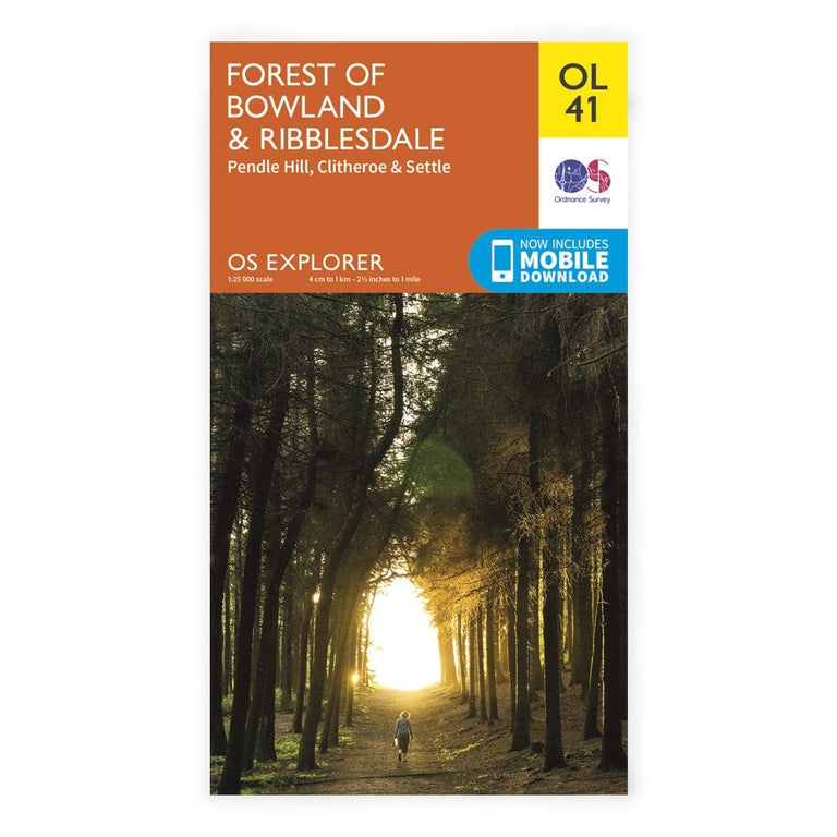
OS Explorer / Forest Of Bowland & Ribblesdale 1:25,000 os map
£12.99
Details
Ordnance Survey Explorer maps use a smaller 1:25,000 scale to provide unrivalled levels of detail – so you’ve only got yourself to blame if you get lost! Don’t try pinning it on the compass either…
Full topographic mapping displays elevation contours at every 5m, or every 10 metres for upland areas, allowing pinpoint navigation. This makes Explorer maps ideal for activities like hillwalking, hiking, mountaineering, trail running and mountain biking.
Route planning is made easy with rights of way markers for footpaths, bridleways and byways, plus symbols for campsites, youth hostels and other services.
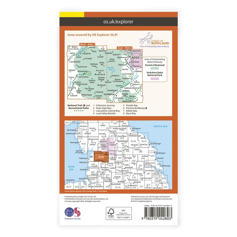
Explorer OL41 covers the Pennine Way, the Pendle Way, Clitheroe, Lancaster and Settle.
Features
Key Features
- Detailed 1:25K mapping for navigation and route planning
- Topographic contours every 5m (or 10m in upland areas) to identify landscape features
- All rights of way, footpaths, bridleways, byways and tracks marked
- Symbols for local landmarks (pubs, campsites, youth hostels etc.)
- Includes a mobile map download code
- Unlimited battery life
- 3 Year Alpine Bond
Vital stats
Scale
1:25,000
4cm to 1km / 2.5 inches to 1 mile
Dimensions
240mm x 135mm
Origin: United Kingdom
You may also like
-
Sale


-
Sale


Works Well With
-
Sale

Williams Hillmaster Compass
-
Sold Out