Harvey Mountain Map: Ben Nevis & Glen Coe 1:40,000 mountain map
£18.50
Details
"This excellent Ben Nevis and Glen Coe map provides all the details needed for safe navigation on these iconic mountains". Cameron McNeish
Harvey British Mountain Maps are made in conjunction with the British Mountaineering Council (BMC) and designed specifically with hillwalkers, climbers and mountaineers in mind.
Printed on waterproof and tear-resistant polyethylene, British Mountain Maps are less than half the weight of laminated maps. The map area is printed all on one side for ease of use with colour shading for easy hill and valley identification in the clag, plus detailed crag info for climbers trying to find base of the route.
The map also includes a 1:15,000 enlargement of the Ben Nevis summit, an infamously tricky area to navigate off in snow and bad visibility, with a marked escape route.
The back of the map contains navigation tips, Mountain Rescue and first aid advice, useful local info and a geological map of the area designed by the British Geological Survey.
Features
Key Features
- Printed on waterproof and tear-resistant polyethylene
- Large area covered all on one side
- Less than half the weight of a laminated map
- 1:15,000 Ben Nevis summit map with bad visibility descent route
- Colour shading for easy hill and valley identification
- Detailed crag information for climbers
- Mountain incident and first aid advice and navigation tips
- List of useful local phone numbers and websites
- Geological map designed by the British Geological Survey
- 3 Year Alpine Bond
Vital stats
Map scale
1:40,000
Ratio
2.5cm = 1km
Map size folded
124 x 235mm
Map size flat
992 x 940mm
Weight
90g
Publish Date
March 2007
You may also like
-
Sale


-
Sale
Works Well With
-
Sale
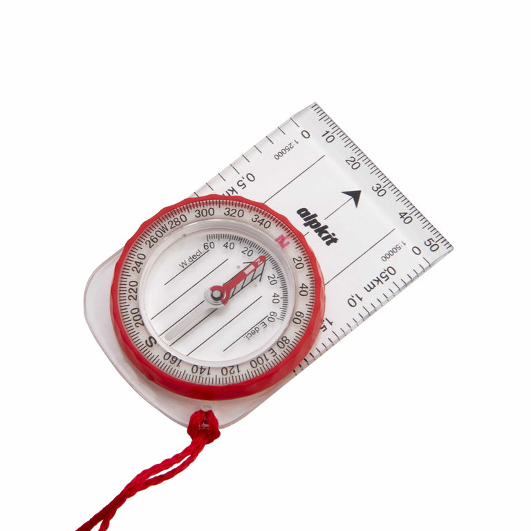
Williams Hillmaster Compass
-
Sold Out