





 Sonder Bikes

-
Sold Out


Harvey Superwalker: Skye the Cuillin XT25 1:25,000 walking map
Details
The Skye Cuilin XT25 map covers the whole of the Cuilin Hills. There's also a magnified 1:12,500 map of the Cuilin Ridge and a diagram showing routes across or off the ridge.
Harvey Superwalker maps are lightweight, waterproof and tear-resistant maps in a 1:25,000 scale. They've been designed specifically for walkers with a simplified mapping based on original air surveys. This makes them clear and easy to read with only the features you need on the hill.
Features
Key Features
- Printed on waterproof and tear-resistant polyethylene
- Simplified mapping provides only the details you need for walking
- Less than half the weight of a laminated map
- Opens easily to any section without unfolding the whole map
- Covers the Skye Cuilin with a magnified 1:12,500 map of the Cuilin Ridge
- Ridge diagram showing routes across or off the Cuillin Ridge
- 3 Year Alpine Bond
Vital stats
Map scale
1:25,000
Ratio
4cm = 1km
Map size folded
130 x 250mm
Weight
100g
Publish Date
2014
Origin: UK
You may also like
-
New


-
Sold Out
Works Well With
-
Sold Out
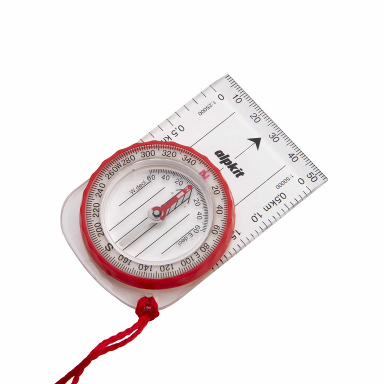
Williams Hillmaster Compass
Backpacking compass suitable for day hikers and DofE participants
£10.49
Standard delivery to UK addresses is free over £60.
Next Day deliveries will be shipped same day if you place your order before 2pm Monday - Friday.